
Progetto MOVEO CUGRI-Università di Salerno
Wave Measurement
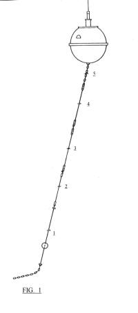
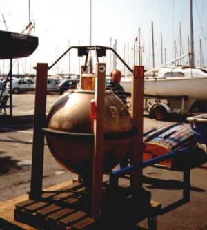
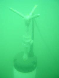
CUGRI owns a Mark II Datawell Directional Waverider; it was deployed off Salerno for three months in 2001 and, until recently, it was the only directional wave meter to have operated off the Campania Region coast (Protezione Civile is now running two). Data were used together with ECMWF WAM forecasts, satellite altimeters and Campania Region Stack wave meter to test the integration of different data sources in the vicinity of the coast
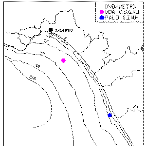
Coordinates of the mooring point: 40° 36.68’ N 14°47.01’ E
Receiving station was located in the Masuccio Salernitano Marina
Data Deployed : 23.12.2000 to :8.4.2001
Mooring depth: 40 m.
Ballast: Kg. 500 Iron Chain
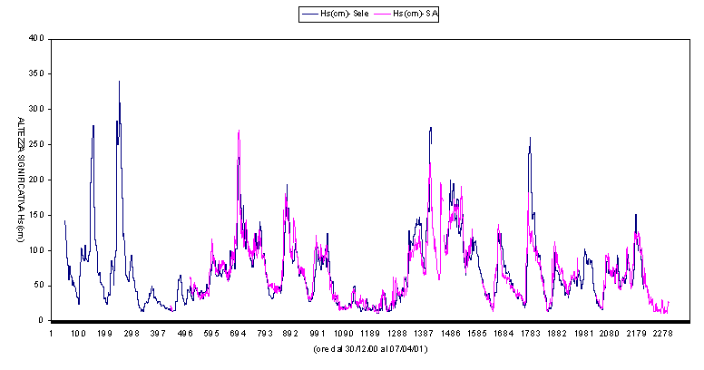
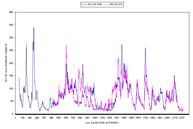
Wave data from CUGRI Wave meter and Campania Region Civil Protection Foce Sele (SIMN).
Data from two the CUGRI wave meter were instrumental in correcting some inconsistencies in the Foce Sele measurements :
See the difference between the first diagram (corrected) and the second (raw)
The Mark II Datawell is now being operated jointly with the Parthenope University of Naples, and will soon be deployed off Sorrento in the Bay of Naples
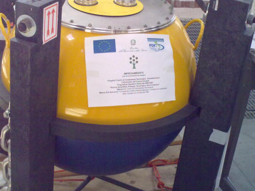
CUGRI also operates on behalf of Impresa Ambiente, a newer MkII waverider buoy which is available for contract work
Other instruments are available, both for contract work:
For instance, a Doppler Bottom Wavemeter (SONTEC TRITON)
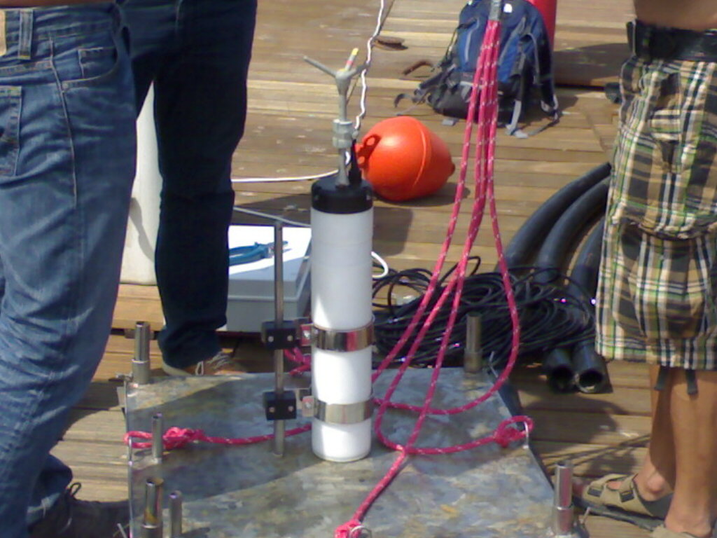
has been extensively used in the Riposto Marina, in Sicily.
Two ADCPs and a Current meter are also available
BACK TO THE BEGINNING OF THE PAGE
All this, would never have been done without the contribution of Giuseppe Spulsi, Marina Monaco, Fabio Dentale
Last revised 2011 EPC